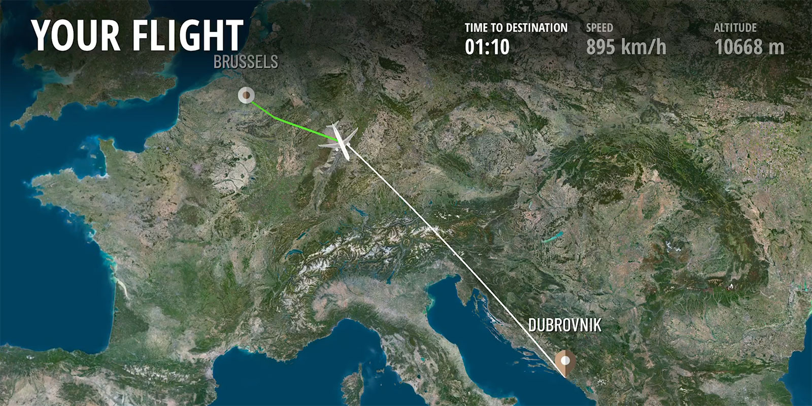
IFE Moving Maps & Imagery in Display Interactive's Success
Display Interactive’s IFE moving maps, powered by PlanetSAT imagery, transform flights.
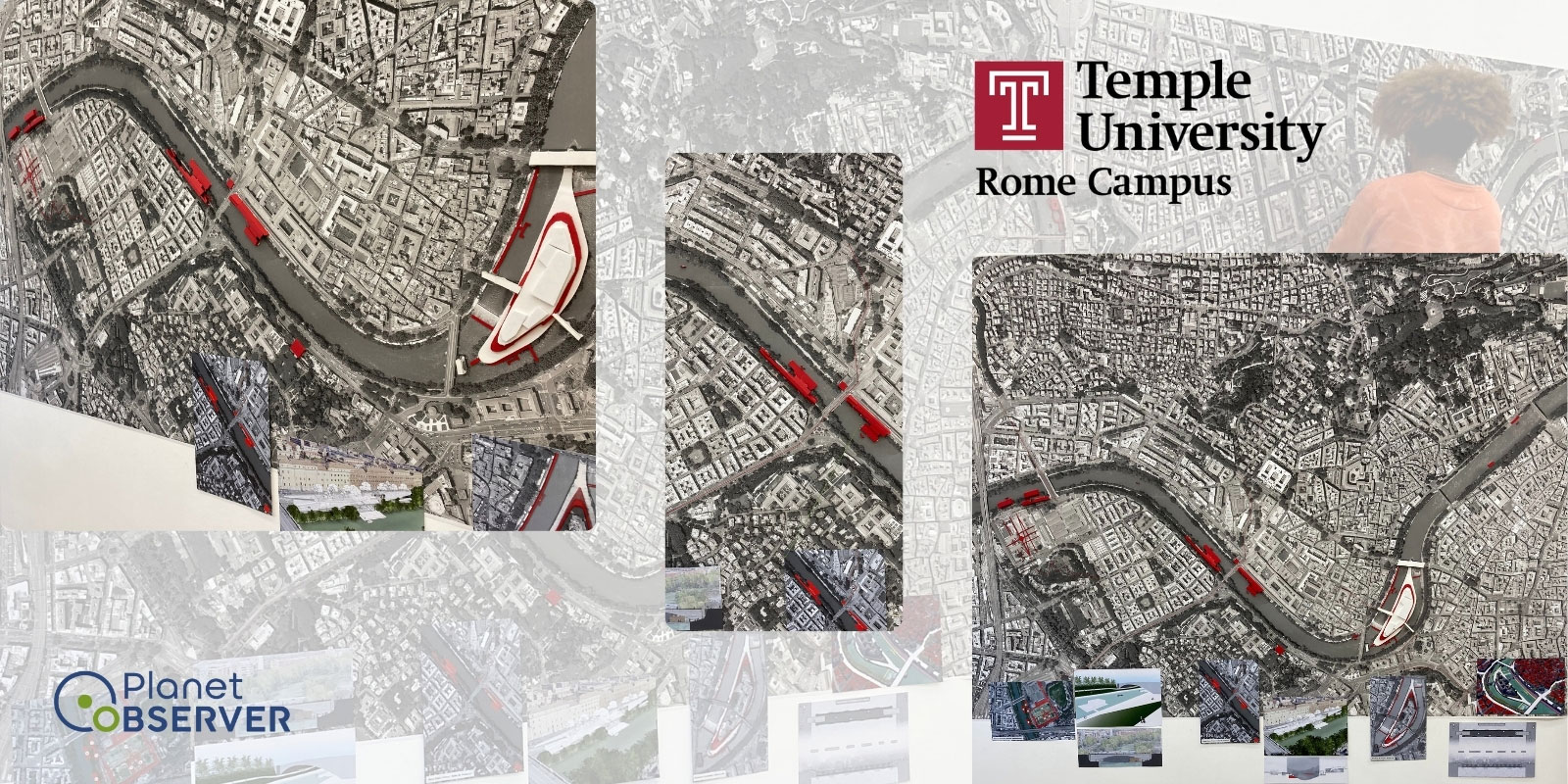
Temple University Rome Campus, an international branch of Temple University, is based in Rome, Italy. This university focuses on education, community engagement, and collaborative projects. They also offer various courses, from Political Science, Art History, or Business and Architecture and are considered a hub for cultural exchange.
Students of the Architecture Design Course recently worked on a project to better document the Tiber area and improve the connection between the city and the Tiber River.
A workshop by the name of “The Multidisciplinary Exhibition Tiber re-FOUND” was prepared by the students, under the supervision of their Professor in Architecture.
The students initially tried to find relevant images of the Tiber River area in Rome for their project and attempted to utilize Google’s satellite images. However, these images did not meet their requirements in terms of resolution and most images were incomplete. For that reason, they had to search for other sources for more suitable results.
The Professor in Architecture supervising the project eventually selected PlanetObserver to fulfill their Very High Resolution or VHR Satellite Imagery needs. We supplied recent 30cm Imagery from BJ-3 satellite from our partner ONYX Space, due to the high quality and detailed resolution.
This image of the Tiber River area is employed for analyzing the river's surroundings. It is incorporated into a large-scale presentation for display in a real-life exhibition, with the addition of 3D figures to enhance the image and provide a more comprehensive and cohesive interpretation of the studied area.
Furthermore, our straightforward onboarding process contributed to the project’s success. Our team provided guidance and support ensuring the Head of Project didn’t have any issues accessing and utilizing the imagery.
This efficient onboarding experience also accelerated the project’s process, allowing our client to keep their focus on the academic research.

The use of Very High Resolution imagery from ONYX Space resulted in a variety of benefits for both the students and their project:
.jpg)