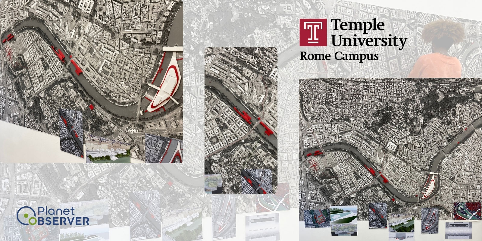
Temple University Picks PlanetObserver's VHR Satellite Imagery
Temple University Rome Campus chose PlanetObserver to meet their needs for VHR Satellite Imagery.
Display Interactive is a French company with 15+ years of experience, specializes in enhancing the inflight experience for airlines and their passengers around the world. They work with many well-known clients, including airlines and companies like AEGEAN, AIRBUS, AIR FRANCE, AMAC AEROSPACE, and QATAR AIRWAYS.
Their commitment to quality and innovation has positioned them as a leading name in the IFE (InFlight Entertainment) industry, all while keeping user-friendliness at the core of their offerings. Whether it's movies, games or real-time flight information, Display Interactive strives to make airtravel more enjoyable and satisfying for everyone on board.
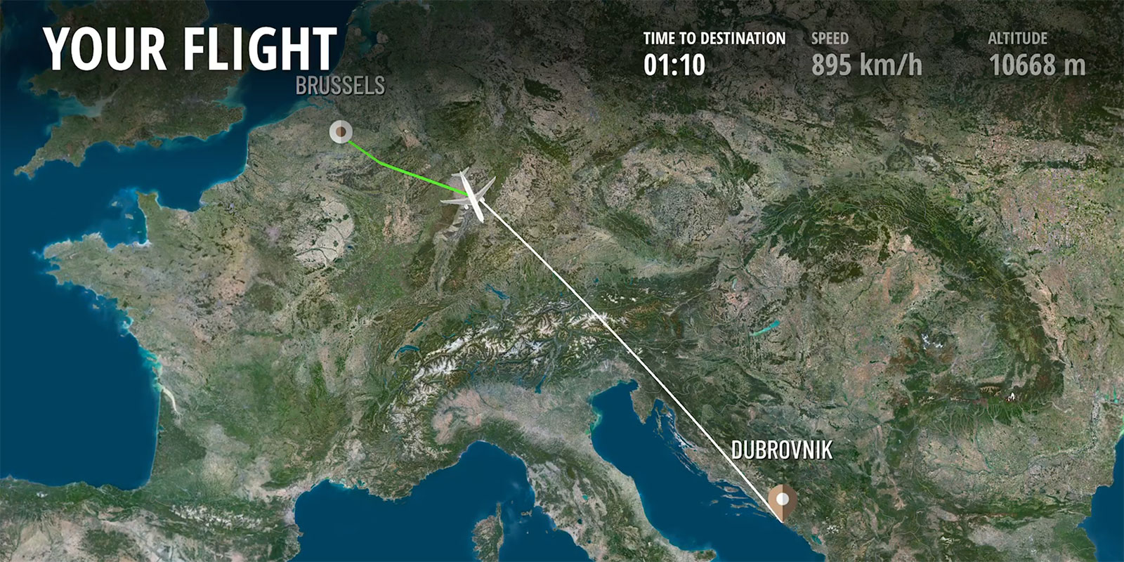
Display Interactive’s enhanced moving map, integrated into their UGO PAX, UGO 360, business jet and Display Executive offerings, is more than a mere visual guide; it's a gateway to an interactive and immersive in-flight experience. Understanding that passengers seek immersive, realistic, and visually appealing depictions of their journey, Display Interactive aimed to transform their moving map into an extraordinary visual exploration.
Display Interactive realized the importance of incorporating high-quality satellite imagery to bring their in-flight moving maps to life. They recognized that this key feature would enable them to offer passengers stunning and accurate visual representations of the landscapes below, forging a deeper connection between travellers and the world outside their windows. In turning a routine flight into a more engaging and memorable experience, the focus on satellite imagery became essential to their vision. In pursuit of this vision, they approached PlanetObserver, leveraging our stunning satellite imagery to further elevate the quality of their product.
Display Interactive was on a mission to enrich their IFE moving map features, and they realized the key importance in incorporating high-quality satellite imagery. Their quest led them to PlanetObserver, as they sought a partner who could not only provide attractive visuals but also deliver a comprehensive solution tailored to their unique requirements, covering the entire globe. They needed imagery that would not only beautify the application but would align perfectly with their technical specifications.
Understanding their need for visual appeal, PlanetObserver engaged closely with Display Interactive, offering solutions that included:
Through this partnership, PlanetObserver was able to craft a solution based on PlanetSAT 10m imagery basemap that fully met Display Interactive's needs. It helped transforming their IFE moving map application into an engaging and visually captivating experience for passengers. Furthermore, the moving map servers as an informative resource for passengers, granting them access to points of interest and personalized infromation.
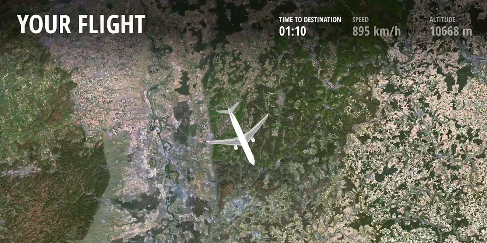
Our collaboration with Display Interactive led to the seamless integration of PlanetSAT imagery basemap, equipping their moving maps with a richness and precision that elevated the overall flight experience for passengers. This fruitful partnership resulted in real benefits that were felt by both their brand and their customers:
.jpg)